The workplace of tomorrow emerges from a historical setting.
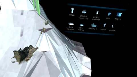
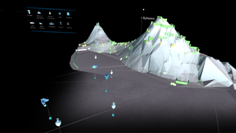
BYBASSOS AR expands the view to complex data. The AR application visualizes archaeologically explored terrain and building structures in an area over the course of time. During their virtual inspection, researchers can navigate through the settlement history and examine selected architectural fragments in the form of 3D scans. In this way, BYBASSOS AR combines insights into the past while showing perspectives for the working world of the future.
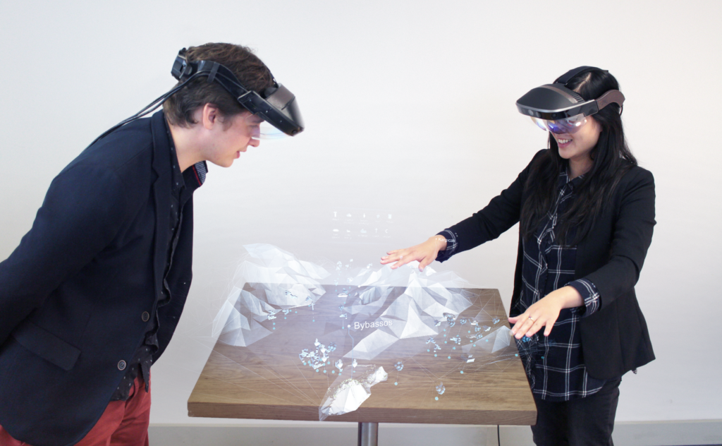
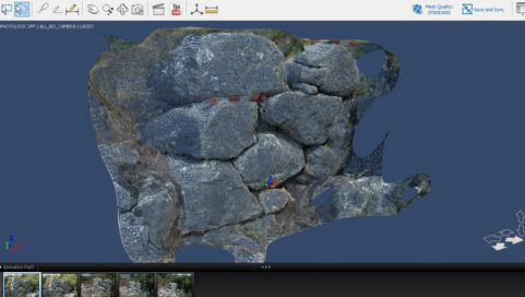
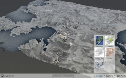
Complex data sets of archaeological inspections are visualized in an investigation area of more than thirty square kilometers around the ancient city of Bybassos. These come from a variety of sources – including geodata, locally recorded survey points and photogrammetry – and are made accessible concurrently. For this purpose, we developed a classic desktop application in 2011 in collaboration with the Philipps-Universität Marburg.
A leap forward in technology led us to expand the tool in cooperation with the Silicon Valley startup Meta to a room-filling visualization for the augmented reality glasses “Meta 2”. This technology enables simultaneous viewing of content and working with maps and discovered objects in a team with other scientists. In this way, results can be evaluated and discussed together. By means of natural movements, the user navigates through the virtual landscape, measures heights and distances or looks at individual fragments in detail.
The presentation of visual data through AR not only simplifies the documentation and interpretation of complex historical developments. The results can also be presented vividly in lectures and exhibitions. BYBASSOS AR thus explores the classical research discipline of archaeology as an exemplary field for innovative technologies and shows how these can be integrated into tomorrow’s scientific day-to-day work.
Tools AR, GIS, Meta 2 Headset, Photogrammetry, Unity3D
Period2016 - 2017
CooperationMeta


